
Cisco Bridges
Twin railway bridges where CPKC and CN swap sides of the Fraser River in a dramatic canyon 12 km south of Lytton, BC. One of Canada's most iconic railfan locations.
Photos
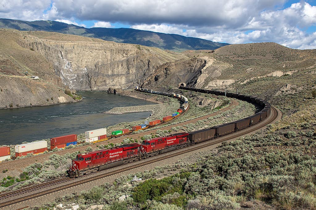
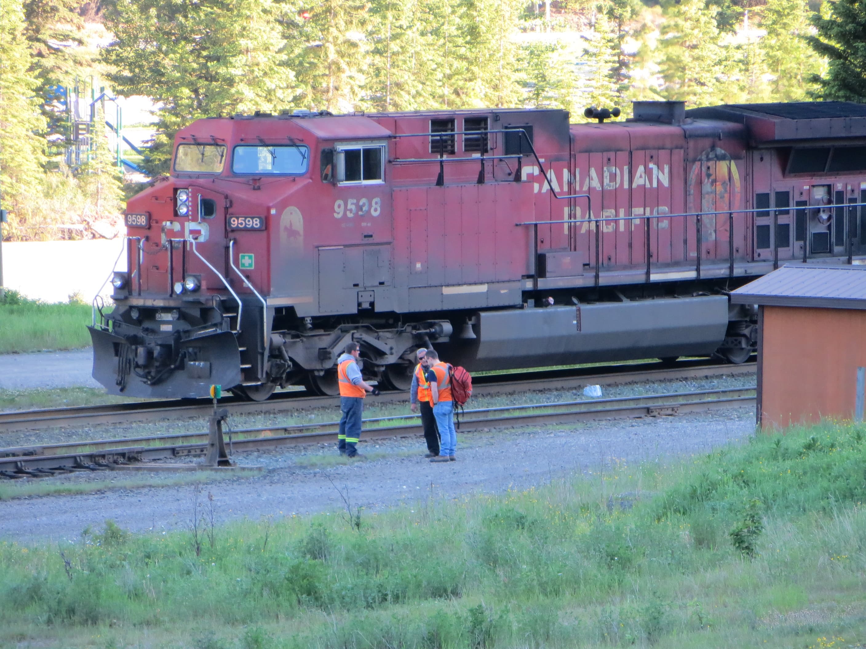
![]() Andrew Bowden
Andrew Bowden
Attribution-ShareAlike License

![]() Andrew Bowden
Andrew Bowden
Attribution-ShareAlike License
Trainspotting Experience
Cisco Bridges sits in a tight Fraser Canyon narrows about 12 km south of Lytton on the Trans-Canada Highway (BC Highway 1). Two Class I railways — CPKC and CN — exchange sides of the Fraser River here, creating one of North America's most compelling railfan vantage points. A rest stop on the northbound side of Highway 1 provides easy parking. From there, you can walk across the road to view both bridges from above. For closer access, a narrow gravel lane descends about 250 m and 30 m in elevation to a flat area beside the CN siding — keep your vehicle and yourself well clear of the tracks.
The directional running agreement through the Fraser and Thompson Canyons means westbound trains (both CN and CPKC) use CN tracks, while eastbound trains use CPKC tracks, between Matsqui Junction and Coho. At Cisco, this produces a constant flow of trains in both directions on both bridges. Scanner enthusiasts can monitor CN frequencies (161.415 MHz Ch 1, 161.205 MHz Ch 2) from the okthepk.ca Ashcroft Subdivision listings. Both bridges are visible simultaneously, and patient railfans can photograph trains on both bridges at once during peak traffic windows.
Landscape, Setting & Local Atmosphere
Cisco lies in the rain shadow of the Coast Mountains, where the Fraser River cuts a deep, semi-arid gorge through ochre-coloured rock. Sagebrush, ponderosa pine, and bunchgrass cling to steep slopes, and the landscape more closely resembles the interior plateau than coastal BC. Summer temperatures regularly reach 30°C with strong sun reflecting off the rock walls — Lytton holds Canada's all-time heat record of 49.6°C set in June 2021. Winter brings occasional snow at river level but rarely accumulates.
The setting is remote and quiet between trains — just the sound of Fraser River rapids and wind through dry grass. Each approaching consist announces itself with air horns echoing through the canyon well before locomotives come into view. The Nlaka'pamux (Thompson) people have inhabited this area for millennia; the name "Siska" means "uncle" in the Nlaka'pamux language. The Siska First Nation community is located nearby.
Type & Frequency of Train Activity
Cisco straddles two subdivisions under a directional running agreement:
CPKC Cascade Subdivision — Eastbound traffic uses CPKC tracks through the canyon. Expect mixed manifests, potash unit trains, grain trains bound for Vancouver terminals, and high-priority intermodal. The black 160 m CP truss bridge crosses at the downstream (southern) position.
CN Ashcroft Subdivision — Westbound traffic uses CN tracks. Double-stack intermodal dominates, along with coal, sulfur, and grain. The orange 247 m CN truss arch bridge crosses at the upstream (northern) position, soaring 67 m above the Fraser River and passing directly over the CPKC right-of-way.
A 2000 Transportation Safety Board report documented an average of 38 trains per day through this corridor. Current traffic is likely higher given growth in intermodal and bulk commodity volumes. Rocky Mountaineer passes through Cisco on both its "First Passage to the West" (Vancouver–Banff) and "Journey Through the Clouds" (Vancouver–Jasper) routes — the bridges are a signature highlight announced to passengers. VIA Rail's "The Canadian" also traverses the canyon (westbound on CN, eastbound on CPKC) but typically passes through at night.
Best Angles for Photos & What Railfans Enjoy Most
Highway 1 Rest Stop (main viewpoint): From the rest stop on the northbound side of Highway 1, you get an elevated, three-quarter view of both bridges with the Fraser River canyon as backdrop. Morning sun (08:00–11:00) lights eastbound trains on the CPKC bridge; afternoon light (15:00–18:00) favours the CN bridge. A 70-200mm lens captures individual bridge compositions, while a wide-angle (24-35mm) fits both bridges and the canyon walls.
CN Siding Access Road: A gravel lane descends from near the rest stop to track level beside the CN siding. From here you are close enough to feel the ground vibrate as trains cross above on the CN arch. Wide-angle shots looking up at the CN bridge with the canyon walls create dramatic compositions. Do not park or stand between the CN siding and the main track.
River Level (south bluff trail): An informal, unpaved path descends further toward the Fraser River, offering wide-angle compositions where both bridges and the river fit in one frame. Use caution — the terrain is steep and loose. Late afternoon golden light on the canyon walls creates the best atmosphere for long-exposure river shots.
Historical or Cultural Relevance
The original CP bridge at Cisco was pre-fabricated in England by Hawkes, Crayshay and Company of Gateshead and shipped to Canada in 1883. Designed by engineer Charles Conrad Schneider, it was one of the longest cantilever truss spans in North America at the time. The San Francisco Bridge Company assembled it on site, and it entered service in 1884 as part of the transcontinental CPR mainline.
When the current 160 m three-span Parker truss bridge was built at Cisco in 1910, the original cantilever span was relocated to Vancouver Island to cross Niagara Creek Canyon on the Esquimalt and Nanaimo Railway — where it remains in use today, making it possibly the oldest surviving cantilever truss bridge in North America.
The Canadian Northern Railway (later CN) built its own crossing approximately 100 m upstream, completed circa 1913. The 247 m truss arch bridge stands 67 m above the Fraser River and its northwest end abuts into a near-vertical rock face. The southeast end passes directly over the CPKC tracks before touching down on the opposite bluff. Because the CP engineers had first choice of route, CN was forced to build along the more difficult side of the canyon.
In June 2015, a CN-caused fire destroyed forest near Cisco, and in June 2021, a devastating wildfire destroyed 90% of nearby Lytton, killing two people. The village remains in slow reconstruction as of 2025.
What Makes This Spot Different
Cisco Bridges is one of the very few locations in North America where two competing transcontinental railways physically cross each other while simultaneously crossing a major river, all within a 400 m stretch. The directional running agreement adds further interest: both CN and CPKC trains can be seen on both bridges, so the variety of motive power and rolling stock is exceptional. The proximity of the two bridges — roughly 100 m apart — makes it possible to photograph trains on both structures simultaneously.
The location is a signature highlight on two Rocky Mountaineer routes, meaning the bridges appear in countless tourism photos and railway documentaries. The original 1884 CP bridge survives on Vancouver Island, creating a tangible historical link between Cisco and the E&N Railway. Few railfan spots offer this combination of dual-railway action, canyon scenery, accessible highway viewing, and deep historical significance — all without an admission fee or any formal infrastructure.
Frequently Asked Questions
QHow many trains pass Cisco Bridges per day?
The combined CPKC and CN traffic through the Fraser Canyon averages 30-40+ trains daily. A 2000 Transportation Safety Board report documented 38 trains per day; current volumes are likely higher due to growth in intermodal and commodity traffic.
QCan I see the Rocky Mountaineer at Cisco?
Yes. Rocky Mountaineer passes through Cisco on both its First Passage to the West (Vancouver–Banff/Lake Louise) and Journey Through the Clouds (Vancouver–Jasper) routes, typically around midday. The season runs mid-April to mid-October.
QWhich bridge is which at Cisco?
The lower, black-painted truss bridge (downstream/south) is the CPKC (Canadian Pacific) bridge — 160 m long, built in 1910. The higher, orange-painted truss arch bridge (upstream/north) is the CN bridge — 247 m long and 67 m above the river, built circa 1913.
QIs Lytton open to visitors after the 2021 wildfire?
Lytton is slowly rebuilding after the June 2021 wildfire that destroyed 90% of the village. As of 2025, services remain very limited — no hotel, no bank, and very few businesses. The Cisco Bridges viewing area (12 km south on Highway 1) was not affected by the fire, but visitors should plan to be self-sufficient with fuel, food, and water.
QWhat is directional running at Cisco?
Under a joint agreement, westbound CN and CPKC trains use CN tracks through the Fraser Canyon, while eastbound trains use CPKC tracks (between Matsqui Junction and Coho). This means you can see both railways' trains on both bridges at Cisco.
Safety Tips
Stay well clear of all railway tracks — both the CN siding and mainlines carry frequent, high-speed traffic. Trains can approach from either direction with little warning in the canyon acoustics. The gravel access road to the CN siding is steep and narrow; turning around is difficult beyond the flat area. Do not drive past the CN siding area. The bluff trails are informal and unmaintained — loose rock and steep drops are hazards, especially in wet conditions. Lytton was devastated by wildfire in 2021 and services remain very limited as of 2025 — fuel up and bring supplies before arriving. Summer heat can be extreme (Lytton holds Canada's heat record at 49.6°C). Wildfire risk is high from June through September; check BC Wildfire Service and DriveBC for current conditions before visiting.
Seasonal Information
Spring (April–May) and fall (September–October) offer the best combination of comfortable temperatures, clear skies, and good light angles. Summer (June–August) brings long daylight hours but extreme heat — temperatures above 35°C are common and wildfire smoke can reduce visibility. Winter provides occasional snow-dusted canyon scenery but shorter days and potential highway closures from avalanche work or weather. Rocky Mountaineer operates seasonally from mid-April to mid-October, adding passenger train sightings. VIA Rail's "The Canadian" runs year-round but passes through the canyon at night on both east and westbound schedules.
Nearby Lodging
- Totem Motel (Lytton)
Budget motel in Lytton, 12 km north of Cisco Bridges. Basic but clean rooms. Note: Lytton services remain limited after the 2021 wildfire — confirm availability before visiting.
- Kumsheen Rafting Resort
Wilderness adventure resort near Lytton offering cabins, camping, and rafting packages on the Thompson and Fraser rivers. Seasonal operation (summer).
- The Inn at Spences Bridge
Historic inn in Spences Bridge, about 27 km north of Cisco. Charming heritage property with restaurant. Good base for exploring multiple Fraser Canyon railfan spots.
- The Mighty Fraser Motel (Boston Bar)
Motel in Boston Bar, about 36 km south of Cisco Bridges along Highway 1. Rooms with kitchenettes available.
Nearby Attractions
28 miles / 45 km
Fraser Canyon's most famous attraction — a suspended gondola descending 150 m into the gorge at the river's narrowest point (33 m wide). Includes fishways exhibit, suspension bridge, and gold panning. Seasonal operation.
7.5 miles / 12 km
Rebuilt after the 2021 wildfire, this museum tells the story of Chinese immigration in the Fraser Canyon during the gold rush and railway construction eras. Located in Lytton village.
25 miles / 40 km
Nlaka'pamux First Nations heritage site and village 5 km south of Boston Bar. Cultural tours, traditional buildings, and interpretive displays about indigenous life in the Fraser Canyon.
9.3 miles / 15 km
One of the last unlogged watersheds in southern BC, accessible from Lytton. Day and overnight hikes with indigenous rock art sites and pristine wilderness.
12.4 miles / 20 km
Campground and day-use area on the Trans-Canada Highway between Lytton and Spences Bridge. Good base for canyon exploration with river views.
Official Resources
Related on Spotatrain
Spots Near Siska
Ashcroft (Black Canyon)
A dramatic canyon on the Thompson River where CN and CPKC mainlines run on opposite sides, offering views of both railways' directional-running freight traffic through BC's desert interior.
Kamloops (Junction)
CN's Kamloops yard sits at the junction of the Ashcroft, Clearwater, and Okanagan subdivisions on the Vancouver–Edmonton mainline. Both CN and CPKC run over 50 trains per day combined through the Kamloops area, with VIA Rail and Rocky Mountaineer passenger services adding variety.
Blackie Spit Park
Set on a sandy peninsula at Mud Bay, Blackie Spit Park offers ground-level views of BNSF freight trains and Amtrak Cascades on the historic 1909 Great Northern sea-line route, with Mount Baker as backdrop.
White Rock (Waterfront BNSF)
A 2.19-km paved promenade on Semiahmoo Bay puts you within metres of the BNSF Bellingham Subdivision single main — carrying approximately 28 trains daily including Amtrak Cascades and heavy BNSF freight — with Mount Baker rising to the south-east as a backdrop.
Everett (Tunnel Junction)
Watch BNSF freight, Amtrak Cascades, Empire Builder, and Sounder commuter trains emerge from or enter the 1.5-mile Everett Tunnel on BNSF's Scenic Subdivision at the junction with the Bayside Main Line along Puget Sound.
Revelstoke (CP Main)
CPKC division point in the Columbia River valley where 40+ daily freight movements navigate between the Selkirk and Monashee mountains. Home to the Revelstoke Railway Museum, a Virtual Railfan live webcam, and dramatic Columbia River bridge photography.
More Spots in British Columbia
Spiral Tunnels (Kicking Horse)
Two 270-degree spiral tunnels where CPKC freight and passenger trains loop through Cathedral Mountain and Mount Ogden in Yoho National Park. Built in 1909 to replace the dangerous 4.5% Big Hill grade, 25-30 trains per day still navigate this century-old engineering marvel. Two Parks Canada viewpoints with interpretive panels offer safe, unobstructed views.
Prince George CN Yard
Major CN rail hub at the confluence of the Fraser and Nechako Rivers, where the east-west CN mainline meets the former BC Rail corridor south to Vancouver.
Related Experiences
SkyTrain Expo Line (Vancouver)
An elevated rapid transit line offering panoramic city and mountain views as it soars above Vancouver via the iconic SkyBridge.
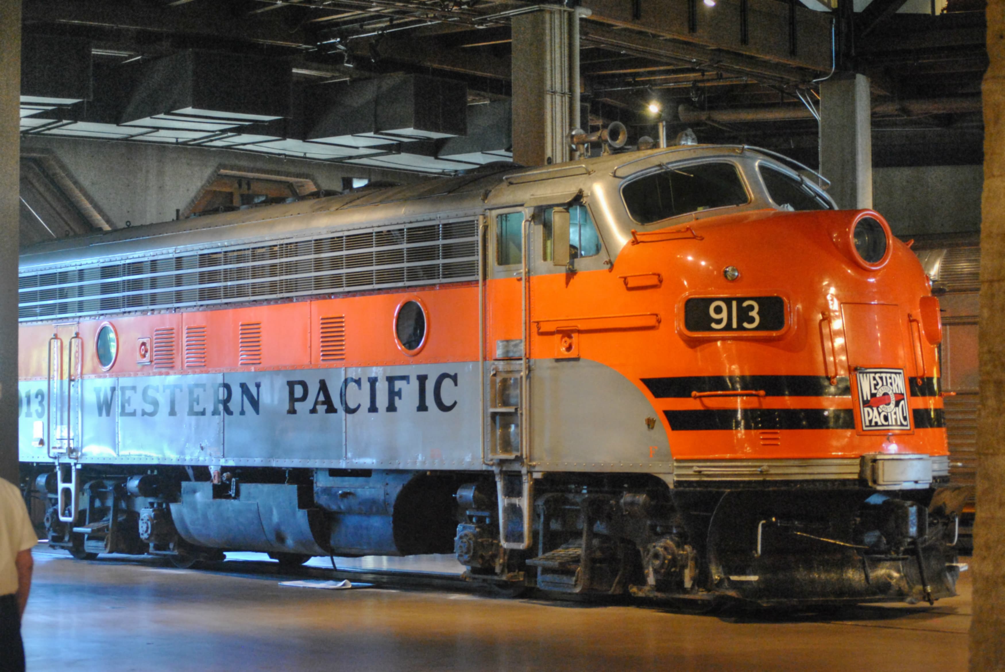
California State Railroad Museum
A world-class railroad museum in Old Sacramento featuring historic locomotives, rail cars, and immersive exhibits that bring California’s railroading past to life.
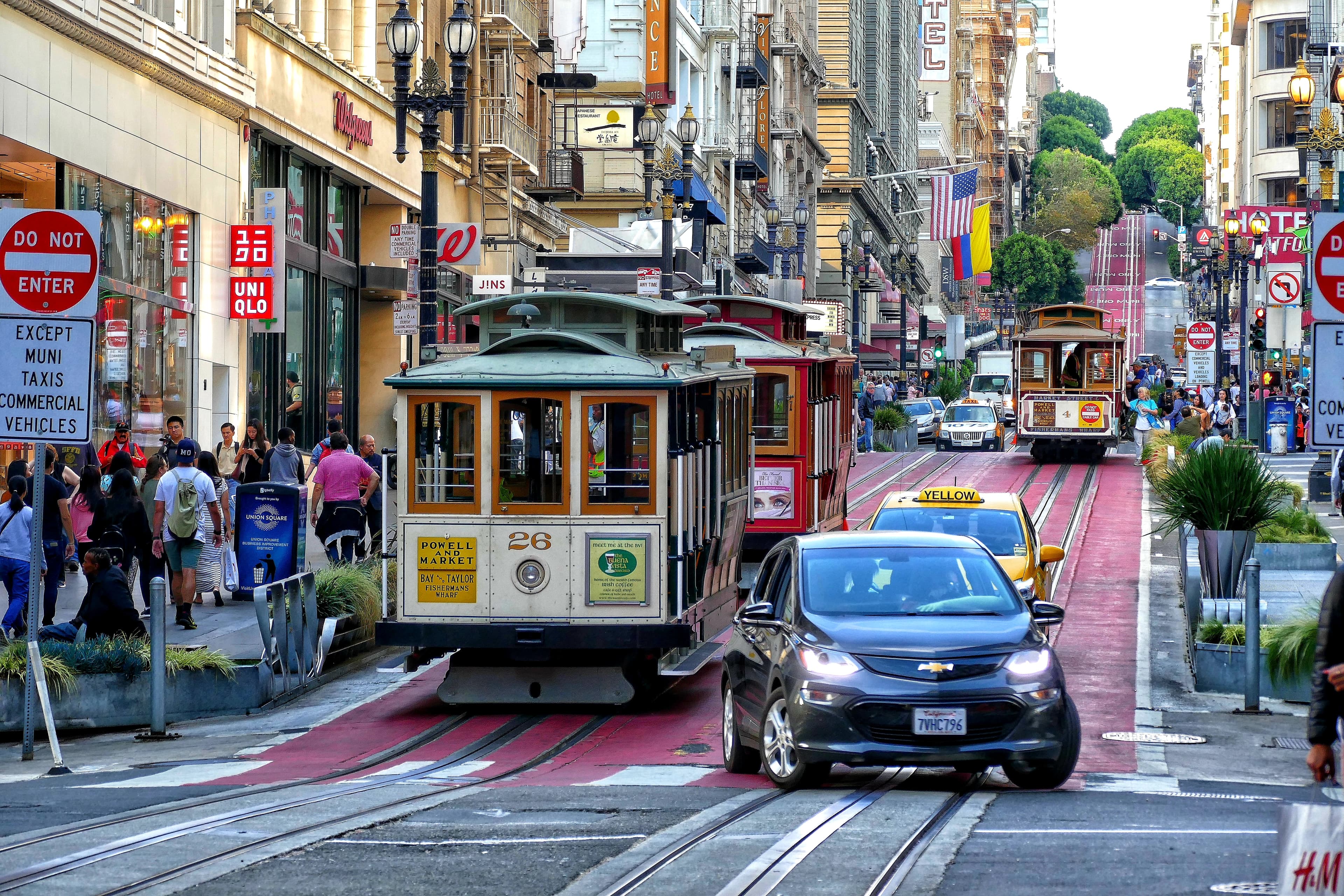
Powell–Hyde Cable Car Line
An iconic open-air cable car ride clanking up and down San Francisco’s steep hills, offering panoramic city and bay views on a historic moving landmark.
Related Journeys & Mega-Projects
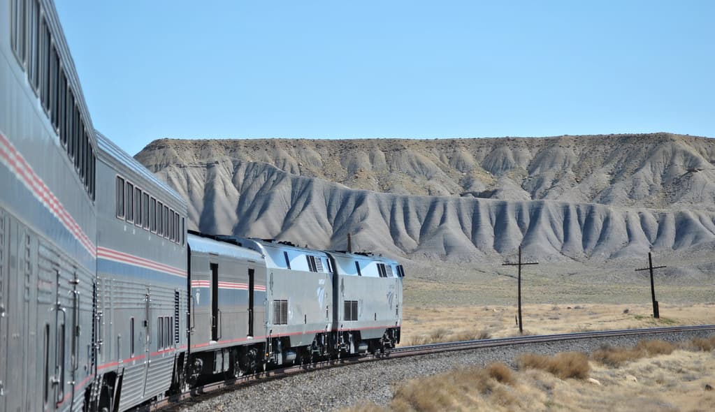
California Zephyr
Chicago to San Francisco across the Rockies and Sierra Nevada

White Pass & Yukon Route — Summit Excursion
Climb 873 m from Skagway tidewater to the historic White Pass on a 914 mm narrow-gauge line built for the Klondike Gold Rush.
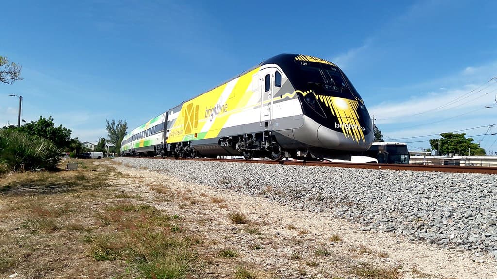
Brightline West
America's first true high-speed rail: Las Vegas to greater Los Angeles at 200 mph
Looking for more spots? Browse the complete list of train spotting locations.
Quick Information
Country
Canada
Region
British Columbia
City
Siska
Spot Type
Bridge/Overpass
Best Times
Daylight hours year-round. Morning (08:00-11:00) for front-lit CPKC bridge; afternoon (15:00-18:00) for CN bridge light. Rocky Mountaineer passes around midday seasonally.
Visit Duration
1-3 hours
Cost
Free
Train Activity
Train Types
Frequency
Combined 30-40+ trains per day (CPKC and CN directional running)
Access & Amenities
Parking
Available (Free (Highway 1 rest stop))
Shelter
Not available
Restrooms
Available